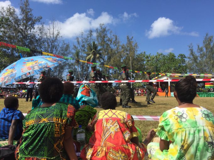
The Republic of Vanuatu is an archipelago made up of 83 islands located in the South Pacific Ocean and is a beautiful destination for any traveller.
Capital City:
Port Vila on the island of Efate
Area:
Approx. 860 000 sq km or 332 045 sq miles
Population:
Over 217 000 (Bureau of Statistics 2005)
Languages:
Vanuatu has three official languages 1) Bislama – This language is essentially a phonetic form of English. Most English speakers can understand the language if it is spoken slowly and clearly. 2) English and 3) French
Currency:
Vatu (VT)
Highest Point:
Mt. Tabwemasana on Espiritu Santo (1877m or 6158 ft)
Largest Island:
Espiritu Santo (3956 sq km, 1527 sq miles)
Geography:
Vanuatu was formed from volcanic activity. The islands are quite mountainous and they have a tropical or sub-tropical climate.
Vocanoes:
Vanuatu boasts one of the world’s most accessible volcano; Yasur on the island of Tanna. There are also several other lesser known terrestrial volcanoes and several underwater ones as well.
Economy:
Tourism, fishing and offshore financial services supplement subsistence and small scale farming which occupies 65% of the population.
Farming:
Yam, taro, manioc, breadfruit and pigs
Native People:
ni-Vanuatu
Religion:
Animist and Christian
Brief History:
Archaeological evidence shows that Vanuatu has been inhabited since at least 2000BC. In 1605 the Portuguese explorer Pedro Fernandez de Quiros was the first European to reach the islands. European settlement began in the late 18th Century soon after Captain Cook visited and named the islands the New Hebrides. Vanuatu was governed jointly by the English and the French from 1887 to 1980, with independence being granted by both countries on July 30th 1980.


