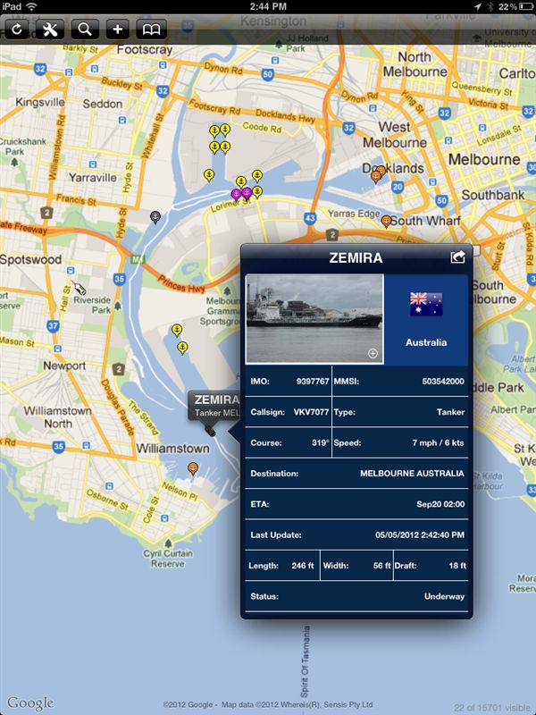
Apple has developed a device that will engage many boaters, the iPad. The iPad’s capacitive touchscreen measures 9.7-inches diagonally, providing the real estate needed to legibly display detailed graphics like marine charts. Additional iPad features like its built-in magnetic compass, accelerometer and assisted GPS (on the WiFi +3G model) are prompting application writers to develop some exciting products aimed at the boating public.
Owners of the iPad can visit the Apple iTunes Store and find many applications or apps for the tablet computer. Costs for apps vary, but many boating-related programs are available at low or no cost. The following are some noteworthy apps for the iPad that might interest readers at Boating and Sailing.
Knot Guide HD – Step by Step Instructions for Knot Tying
Many boaters and outdoor enthusiasts are familiar with the Knot Guide HD application and its excellent treatment of all things related to knots. Eighty-eight knots divided into 17 categories are presented by the application. Each is described in detail and alternative names for the knots are provided. The sequence required for tying each knot is shown in a step-by-step manner that can be advanced by swiping the iPad screen. Controls are provided to allow each step to be displayed manually, which can help with learning to tie a new knot.
This app could be a great way to pass time aboard by providing a tool for learning to tie knots, while seeing the use of the knots in a maritime context. The Knot Guide HD application sells for $2.99 at the iTunes App Store.
iNavX – An iPad Color Chartplotter
iNavX takes advantage of the iPad’s built-in Assisted GPS (AGPS) and the availability of high-quality digital marine navigation charts. At $49.99, it provides the user with the functionality of a color chartplotter at a fraction of their cost. There are literally thousands of digital chart products available for download; many like NOAA’s raster and electronic navigational charts are free for use by the public.
The iPad WiFi +3G model uses AGPS to enhance the locating performance of the device by using satellite location information stored by the cellular provider’s network to provide a faster time to first fix and proximity to cellular sites to help fix a location when GPS signals are blocked by buildings or topography. Assisted GPS equipped devices cannot compete with dedicated GPS receivers for accuracy, especially when offshore, but they are surprisingly effective under many circumstances.
iNavX won’t replace a full-fledged GPS-enabled chartplotter, but it is popular with many boaters and proves to be a useful addition to other navigation tools found aboard a boat. The accuracy of iNavX-equipped iPad can be improved through use of outside data sources like the GPS and AIS receivers, and speed, wind and depth instruments commonly installed on vessels. The application allows an iPad to serve as a repeater for popular navigation programs like MacENC and Coastal Explorer, making the product very useful for skippers who need to operate many different boats.
Tide Graph – Tide Prediction Software
Tides are an important concern for boaters, especially those that live in areas that experience extreme tidal ranges. Tide Graph is a tide prediction application for the iPad that provides information for boaters in the United States about upcoming tides. Not only is tidal information important for keeping a boat off the bottom; fishermen, surfers and others on the waterfront routinely need to know the times and heights of upcoming tides.
Tide Graph takes advantage of the iPad’s built-in AGPS to determine the nearest coastal tide station and displays information in an easy to read graphical format. A connection to the internet is required to generate a current tidal graph. For $1.99, Tide Graph is an application that will interest many boaters.
If you happen to have an iPad or looking for an excuse to buy one, look at the boating related application now available for the device.


![The 4 Best Free Spotify to MP3 Converter [2024]](https://www.techpreview.org/wp-content/uploads/2024/03/free-photo-of-a-girl-sitting-in-a-car-listening-to-music-on-her-smartphone-and-looking-at-song-lyrics-238x178.jpeg)